Going Big: Geography Class Uses Giant Map of PA
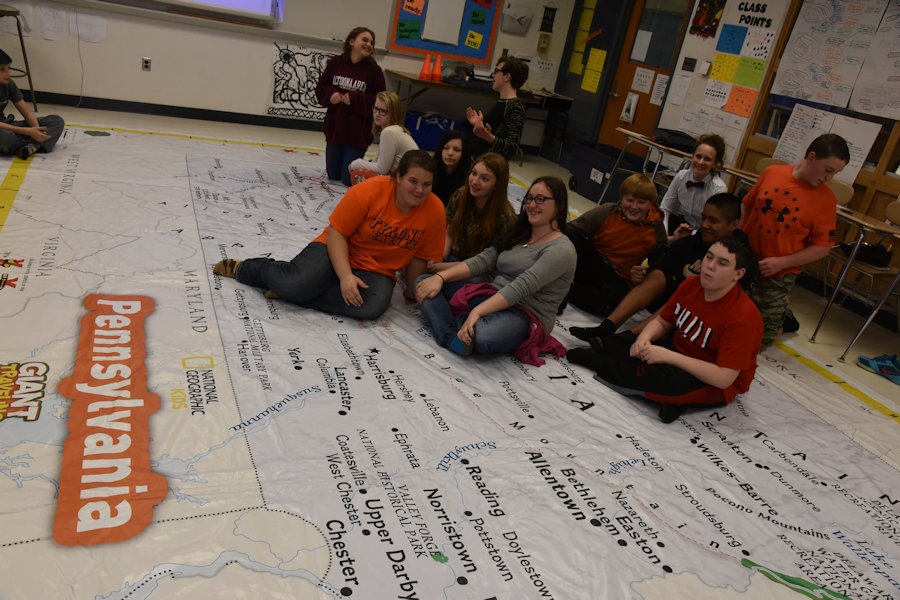
Social studies teacher Olivia Grugan’s 6th period middle school geography class had a unique hands-on experience to help them learn the geographical features of Pennsylvania. The students got use the Giant Map of PA.
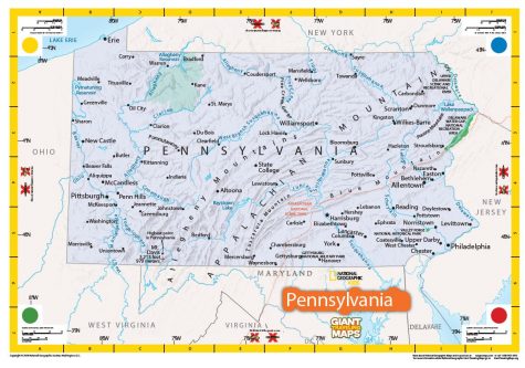
The map, 22 feet long and 14 feet wide, is free to borrow to all non-profit organizations from the Pennsylvania Alliance for Geographic Education.
Every state in the US has a giant map for schools to reserve and use. The purpose of the map is to teach state geography, and to engage map reading and special thinking to learn efficiently.
Grugan first saw the map at a social studies state conference and wanted to use that for her students. Grugan said she would use the PA map again, and even use the whole USA map which could be put in the gym.
As the students used the map, Grugan tracked their progress for the month. As the month progressed, Grugan asked her students to draw a freehand map of Pennsylvania labeling a list of 10 locations on a blank piece of paper. As the students did activities using the giant map, their drawings progressed and, according to Grugan, “got surprisingly detailed and accurate” as the unit progressed.
While using the map, the students learned where the mountain ranges, lakes, and rivers are located. They also learned how to use a key and scale and how to locate major cities in Pennsylvania. Despite the fact the students are learning challenging map skills, they still have fun while doing so.
“They were hesitant their first day to take of their shoes off in class. But they enjoy the games and relays. The element of competition is fun,” says Grugan when asked if her students enjoyed the map.
“I would 100% recommend using the big map again because I feel you will learn by far more information about PA,” said geography student Travis Hunter.

The Giant Map of PA

Hi! My name is Olivia Watson, and I am a senior. I have spent my whole life at Tyrone and have always been a proud Golden Eagle. While I have been at this...


